Two decades after first proposing an AIS satellite, Norway is preparing to launch its first maritime-optimised radar satellite, marking a major step forward in the country’s efforts to build a sovereign space-based surveillance network covering its northern waters.
Beyond AIS: Norway builds a sovereign satellite surveillance capability over the High North
Norway is poised to take a major leap forward in its sovereign space-based maritime surveillance capabilities in 2027 with the planned launch of its first nationally controlled C-band synthetic aperture radar (SAR) small satellite. Known as MicroSAR, the maritime-optimised satellite promises to significantly improve the country’s ability to detect and track vessels that have gone ‘dark’, providing all-weather, day-and-night radar surveillance across Norway’s extensive maritime areas of interest.
The development marks the latest step in a two-decade effort to build a more comprehensive space-based maritime surveillance architecture for Norway and its NATO allies, progressively combining the automatic identification system (AIS) with independent sensing technologies to overcome the limitations of cooperative vessel reporting. It also reflects Norway’s wider ambition to secure greater national control over the space-based capabilities needed to monitor maritime activity in the High North and support NATO’s northern flank.
Origins
The origins of Norway’s space-based maritime surveillance effort date back to the late 1990s, when the Norwegian Armed Forces first started using satellite imagery for maritime surveillance. While useful, the data was purchased, the satellites were not under Norwegian control, and coverage of Norway’s extensive maritime areas was limited.
Recognising these limitations, the Norwegian Defence Research Establishment (FFI) in 1998 launched a feasibility study to explore a national alternative. Its initial answer was NSAT-1, a proposed small satellite designed to detect ship radar signals. The concept ultimately proved too expensive for the Norwegian government to pursue as a dedicated military satellite, but the underlying idea survived.
As AIS emerged as a mandatory system for larger commercial vessels, FFI began investigating whether those signals could instead be captured from a much smaller and cheaper satellite in low Earth orbit (LEO).
Ship signals from space
The opportunity came in February 2005, when the Norwegian Coastal Administration established 44 AIS stations along the Norwegian coast. Two months later, FFI proposed extending that coverage into orbit, and in 2010 Norway launched its first national satellite, AISSat-1. Built by Canada’s Space Flight Laboratory (SFL) under FFI’s oversight and fitted with an AIS receiver developed by Kongsberg Seatex, the low-cost 6 kg nanosatellite was originally intended as a technology demonstrator. It performed so well, however, that it became operational within days, making Norway the first country to track ships from polar orbit in real time.
Twin satellite AISSat-2 followed in 2014, providing more frequent updates over Norwegian waters, and in 2017 Norway introduced the larger NorSat series of technology demonstrators. The first two, NorSat-1 and NorSat-2, not only tripled AIS message capture over the AISSat generation but also began carrying non-AIS payloads, including a solar radiometer, a space-weather probe, and an early two-way ship communication system.
By this point, however, it was already clear that AIS data alone could not provide a complete picture of maritime traffic because it relied on co-operative targets and was vulnerable to spoofing.
Non-cooperative sensing
Speaking at the Navy Leaders Combined Naval Event (CNE) in London during May 2026, Trygve Sparr, director of FFI’s sensor and surveillance division, illustrated the problem with an anecdote from 2010, when a US Navy officer told him that AIS data had at one point shown the US aircraft carrier USS Enterprise apparently moored in a harbour where it very clearly was not. The point, Sparr said, is that a system based on cooperative identification can be manipulated.
In response, FFI began developing additional layers of sensors that do not depend on co-operation from the target, progressively expanding Norway’s small satellite architecture to build a more complete maritime picture.


The first major step was NorSat-3. Built by SFL and launched in April 2021, the 16.5 kg microsatellite was the first Norwegian satellite designed specifically to cross-check AIS data against something harder to spoof. In addition to the AIS receiver carried by its predecessors, NorSat-3 carries an experimental ship navigation radar detector (NRD), developed by FFI, that detects and geolocates signals from active civilian navigation radars. “Of course, it’s possible to operate without a radar, but it’s more dangerous than turning off your AIS,” Sparr noted, adding that radar emissions are also more difficult to spoof.
Building on the experience of NorSat-3, Norway then partnered with the Netherlands under the joint MilSpace2 project to develop two identical nanosatellites capable of flying in tandem. Launched in January 2023, Huygens and Birkeland operate in coordinated formation, performing RF cross-fixes on targets to provide more accurate passive geolocation.
Funded by the two countries’ defence ministries, the satellites were developed by FFI in partnership with Dutch research institutes NLR (Royal Netherlands Aerospace Centre) and TNO (Netherlands Organisation for Applied Scientific Research), with the spacecraft bus supplied by Lithuania’s NanoAvionics.
According to Sparr, the MilSpace2 satellites are similar to NorSat-3 but carry receivers capable of detecting emissions from a wider range of radar systems, including non-maritime radars.

NorSat-4: Optics tuned for the sea
Norway added its next layer of non-cooperative sensing in January 2025 with the launch of NorSat-4, which introduced a new low-light optical camera alongside the AIS receiver.
Unlike conventional Earth observation systems optimised for high-resolution land imagery, NorSat-4’s miniature camera – designed and owned by FFI, and built by French company Safran Reosc – is tailored specifically for maritime surveillance. Instead of prioritising colour imagery, the system is configured to maximise coverage and contrast.
Sparr said the system had been optimised to cover a very wide area while giving “very good contrast between the ship and the sea”. The resulting greyscale imagery shows vessels as bright objects against a dark sea background.
The camera’s low-light capability is designed to detect ships longer than 30 m in near-total darkness or poor lighting conditions, which is particularly useful in Norway’s northern waters.
To address the persistent cloud cover common in the High North, FFI also developed a new concept of operations (CONOPS) using meteorological satellite data to identify gaps in the clouds and cue NorSat-4 to point its camera through them.
According to Sparr, earlier research showed that weather-satellite imagery taken several hours beforehand could be used to predict short-term cloud-free conditions for maritime surveillance. “Simulations and actual results have shown that that is actually quite effective,” he said, “even in areas [like the High North] … where there are a lot of clouds all the time, but there are also gaps in the clouds all the time”.
NorSat-4 also carries a new Nanosat Crypto Unit, commissioned by FFI and built by Norwegian company Eidsvoll Electronics (EIDEL), which encrypts communications with the satellite, including telemetry, commands and data generated onboard.

MicroSAR: Adding radar
The MicroSAR technology demonstrator is scheduled to launch on a SpaceX mission in 2027. If successful, it will represent “a huge step forward”, Sparr said.
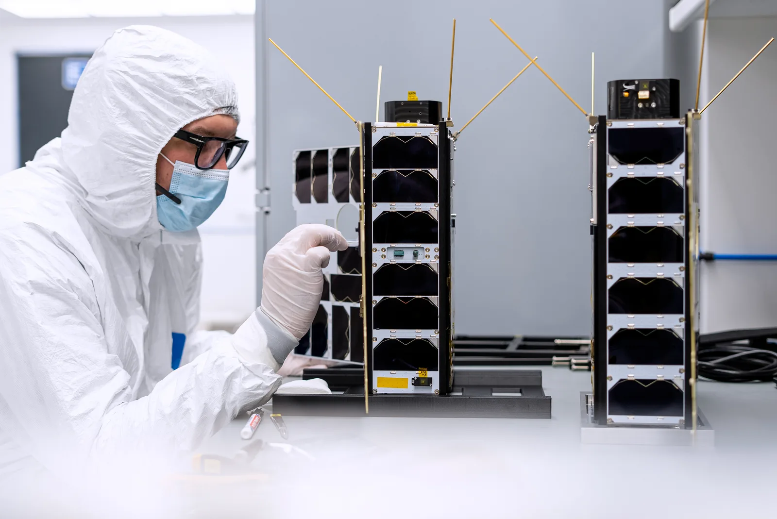
Developed by state-owned satellite operator and infrastructure company Space Norway under Project Saga (‘No Vessel Unseen’), the roughly 300 kg satellite will introduce an active C-band radar imaging capability, complementing the passive radio frequency (RF) detection and optical sensors already deployed across Norway’s small-satellite architecture.
Designed specifically for maritime surveillance, MicroSAR will combine wide-swath coverage approaching 500 km with high-resolution imaging of 0.5 to 3 m to support the detection and classification of relatively small vessels in near-real time across large ocean areas regardless of weather or lighting conditions.
By correlating radar detections with AIS data, the system will add what Space Norway describes as another “truth layer” to verify surface vessel activity at sea, helping to identify dark or deceptive behaviour.
UK company Surrey Satellite Technology Ltd is building the satellite platform, which started construction in 2022, with Oxford Space Systems supplying the radar antenna. The payloads are being developed in Norway by FFI, WideNorth, EIDEL, and Kongsberg Discovery (Seatex).
While Norway and allied governments are expected to be the initial customers, Space Norway is also considering a limited commercial offering for sectors such as shipping and insurance.
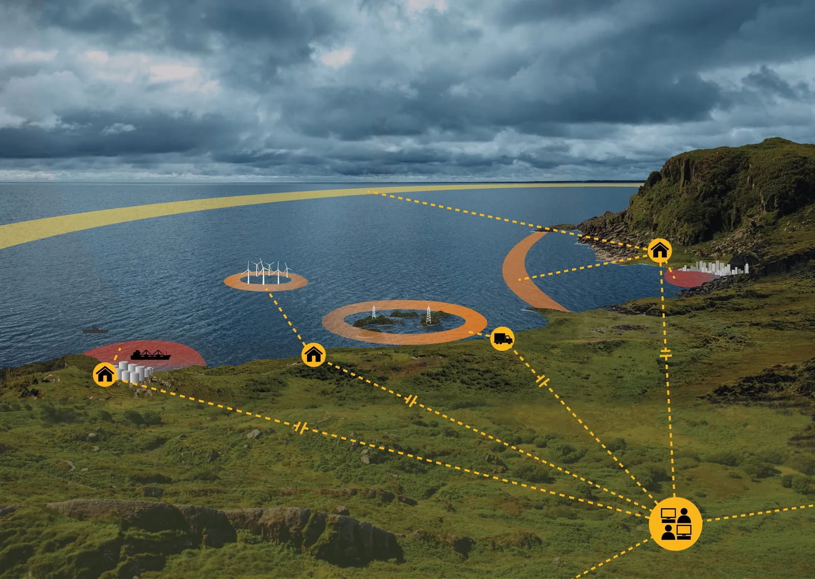
Space Norway is planning to expand Saga into a multi-satellite constellation, with each additional satellite increasing revisit rates over priority regions. These extend well beyond the High North, from the Norwegian and Barents seas and Baltic approaches to the Sea of Japan, the East China Sea and northern and western Australian waters. The constellation will also focus on critical maritime chokepoints and straits, and on areas around seabed infrastructure, LNG terminals and key ports.

maritime activity, including ‘dark’ vessels. (Space Norway)
Simon Flack, Space Norway’s head of business development, Earth Observation & Innovation, told SeaNews in June that the company is planning 12 satellites, with six providing coverage of the North Atlantic and Arctic and the full constellation potentially offering global capability by 2031.
The constellation will use a Track-While-Scan concept, combining successive radar observations into vessel tracks in designated areas of interest and delivering C4ISR-ready outputs to maritime operations centres, joint headquarters and national maritime domain awareness systems.
Communications experiments
In parallel with its surveillance developments, FFI has also experimented with small-satellite communications. In 2022 it launched ARCSAT-1, a shoebox-sized tactical UHF technology demonstrator designed to operate with NATO-compatible radios.
Sparr said the mission demonstrated the potential for small satellites to act as real-time communications relays and ‘post boxes’ for store-and-forward messages, offering additional connectivity options for forces operating in remote areas. FFI reported further successful trials in 2025.
FFI has also explored optical laser communications through the Dutch-built SmallCAT payload carried on the NorSat-TD technology demonstrator, which successfully demonstrated high-speed optical links before the mission ended in May 2025.
Building a national value chain
Norway’s ambitions extend beyond the satellites themselves. In 2022, the government set an explicit goal of developing a complete national value chain for space to support sovereignty and maritime situational awareness in the High North. “That’s our ambitious goal, although it will be true only to a certain extent,” Sparr noted.
The chain already includes satellite production facilities at Kongsberg’s Space Electronics factory in Horten, and a national ground segment providing end-to-end satellite control, operational services and data reception through Kongsberg Satellite Services.
Launch has proved the hardest link to establish. Andøya Space in northern Norway has been developed as a domestic launch site, aimed initially at commercial small-launch providers, but its first orbital attempt by German company Isar Aerospace’s Spectrum rocket in March 2025 ended in failure some 30 seconds after lift-off.
Norway closed that gap on 5 September 2026, when Spectrum reached orbit from Andøya on its second flight and deployed its payloads. It was the first orbital launch by a European commercial launch provider from continental Europe and validated the operational readiness of Norway’s newly established orbital launch infrastructure.

The milestone gives Norway an orbital launch capability on its own soil, although it does not yet amount to sovereign access on demand: Isar Aerospace has exclusive access to the spaceport’s first orbital launch pad under an agreement of up to 20 years announced in 2021.
Total defence
In 2023, Norway consolidated its space-based surveillance efforts under the Arctic Surveillance Programme (ASP), bringing together four governmental bodies: the Norwegian Coastal Administration, the Norwegian Armed Forces, the Norwegian Space Agency, and FFI.
“Together, we are trying to take a holistic approach to what the nation needs in terms of space services,” Sparr said. “The goal is to establish national dual-use capabilities, have a common concept of operations, and establish long-term and predictable financing and operations. This is needed for the military, and it’s needed for civil society.”
The programme forms part of what Norway calls its ‘total defence’ concept, in which military and civilian capabilities are integrated to ensure national resilience. “The resilience of the nation is a combination of what the military can do and what the rest of society can do, and space assets are key in that respect,” Sparr said.
Sovereign but allied
The strategic driver behind these investments is that Norway cannot fight alone in the Barents Sea or the North Atlantic but must also bring unique value to the alliance.
“What is certain is that Norway cannot defeat Russia alone … [and] we cannot do maritime operations in the Barents Sea and North Atlantic in a warlike manner on our own. That must be part of an allied operation,” Sparr said. At the same time, Norway must be a credible ally, able to influence operations in its key areas.
“We need to be the experts in our own backyard,” he said, “we must know our areas better than anyone else, and we must be able to understand them and provide information to our allies on it. And for that, we need the sovereign space capabilities.”
Oslo is therefore combining sovereign surveillance capabilities with deeper cooperation with core partners. The 2025 National Security Strategy explicitly identifies the US as Norway’s most important ally, with Sparr noting, “We don’t see any signs that that is going away so far.”
Sparr described Defence Research and Development Canada (DRDC), particularly its centres in Ottawa and Halifax, as one of FFI’s “prioritised partners” – especially for communication but also for sensing from space, with talks under way on closer co-operation.
Outlook
With the first MicroSAR satellite due in 2027 and Andøya now proven as an orbital launch site, Norway is positioning itself not just as a consumer of allied space data, but as a key provider of Arctic maritime domain awareness within NATO – a role that will only grow in strategic importance as activity in the High North continues to intensify.
Share post